
New Rochelle ZIP Code Coverage
The official Westchester County Health Regional Profile identifies seven postal ZIP labels in its New Rochelle regional entry. That is a regional profile, not a neighborhood map or a list of addresses inside the city. Several labels are expressly marked as serving other regions, and one is marked for PO Boxes. Treat the list as a starting inventory. A complete street address still needs an address-level postal check and, where a records question depends on jurisdiction, a parcel or municipal check.
| ZIP | Areas Covered | Post Office | Notes |
|---|---|---|---|
| 10801 | Core New Rochelle postal area in the regional profile | New Rochelle Post Office | Postal service area is not a parcel boundary. |
| 10802 | New Rochelle regional profile | PO Box designation | The profile marks this as a PO Box ZIP. |
| 10803 | New Rochelle region and other areas | Pelham Post Office | Do not equate it with New Rochelle city limits. |
| 10804 | New Rochelle regional profile | Wykagyl Post Office | The profile warns that service can cross regional lines. |
| 10805 | New Rochelle regional profile | Address-specific verification needed | Use a postal lookup for an individual street. |
| 10538 | New Rochelle region and other areas | Larchmont area context | Not every address with this label is in the city. |
| 10583 | New Rochelle region and other areas | Scarsdale area context | Not every address with this label is in the city. |
New Rochelle has no research-supported, exhaustive neighborhood-to-ZIP table. The useful distinction is simple: the profile supplies the complete regional ZIP list and its footnotes, while the postal service resolves a particular delivery address. County GIS can then compare that postal result with the municipal parcel, school, district, and other map layers. Note: A ZIP narrows mailing geography, but it does not establish residence, occupancy, or a municipal boundary.
New Rochelle ZIP Profile Geography
Postal geography is especially important around New Rochelle because the Health Regional Profile joins local ZIP labels with labels that serve neighboring areas. The asterisks on 10538, 10583, and 10803 are a direct warning that those ZIPs extend beyond a single region. The double asterisk on 10802 has a different meaning: it is a PO Box ZIP rather than ordinary street geography. These categories prevent a broad ZIP search from being mistaken for a city roster.
For address research, carry three identifiers together: the postal situs, the municipal parcel identifier, and the legal description. A postal street and ZIP help confirm mail geography. The SBL or PRINTKEY links a specific parcel to the assessment roll and GIS. A legal description can keep a deed search on the right lot when a postal address is not accepted. Those identifiers serve different record systems, so a match in one should not be silently substituted for a match in another.
New Rochelle ZIP Postal Checks
The New Rochelle Post Office listing identifies the central office at 255 North Avenue for 10801. It is a reliable post-office anchor, but it is not evidence that every nearby property carries 10801 or lies inside the city. USPS keeps the address-level decision separate from a location listing, so use the official lookup before attaching a ZIP to a particular street or parcel.
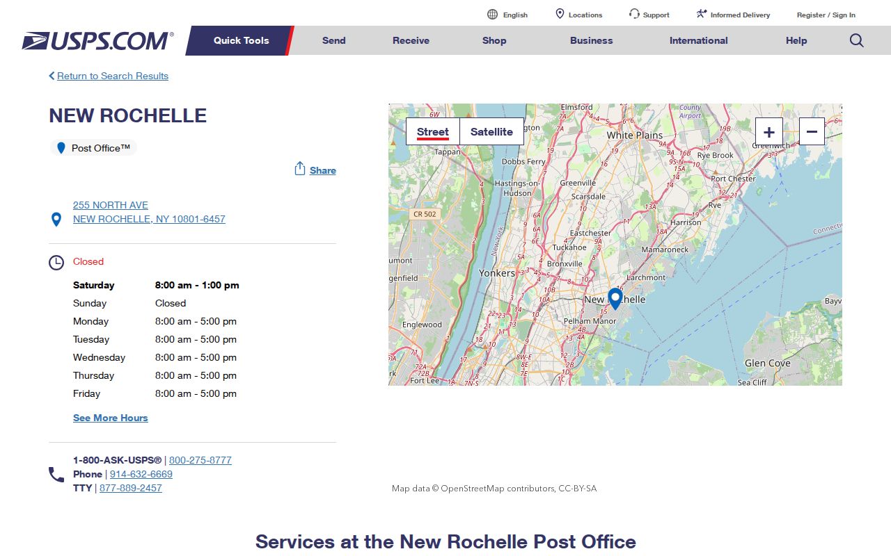
The location page gives the postal counter a concrete point of reference. It does not replace a delivery-address result, a county parcel search, or the city assessment record that may be needed after the postal check.
The Wykagyl Post Office at 3 Quaker Ridge Road is the documented 10804 service anchor. Nearby Pelham and Larchmont context helps explain why the regional ZIP list crosses municipal lines. A postal label may look local while the associated street falls under a different municipality, tax area, or school district. That is why a boundary question should move from USPS to the county ZIP polygon and parcel layers rather than stopping with a place name.
New Rochelle ZIP Parcel Fields
The City assessment and Finance pages direct researchers to CitySquared, SDG Property Information, assessment rolls, and mapping tools. The unattended research could not verify a live property-form ZIP filter, so none should be promised. What is documented is a practical address, owner, parcel, and map workflow. The county parcel layer supplies a second route because it stores both property and owner postal fields alongside parcel identifiers.
| Field or Control | What the Research Supports | ZIP Use |
|---|---|---|
| Address or street search | CitySquared uses a street number and the first street letters to locate a property. | Begin with a postal-checked street address. |
| Owner-name access | The City FAQ confirms ownership-detail access, though exact live controls were not captured. | Compare an owner mailing ZIP only as a mailing field. |
| Parcel or SBL | Assessment rolls show tax-map identifiers such as SBL values. | Bridge a postal address to the correct parcel. |
| GIS parcel identify | County fields include PROPZIP, owner ZIP, SBL, PRINTKEY, and property address. | Compare property ZIP and owner mailing ZIP without treating either as occupancy. |
| Assessment result | Rolls label owner, owner address, location, class, assessment, exemptions, and school district. | Use the location and parcel fields to check record jurisdiction. |
The distinction between situs and owner mailing address matters. A property’s ZIP describes where the parcel is located. An owner address may be outside New Rochelle and is only a tax-mailing clue. Exemption codes can also appear in the roll, yet the research warns that they are not proof of current occupancy or a family relationship.
Finding Residents by New Rochelle ZIP
A ZIP-based record check works best as an address-verification sequence, not as a way to assemble a list of people. Start with the complete street address, then preserve each confirmed identifier as the work moves between postal, parcel, and municipal sources. The New Rochelle ZIP code directory can keep the search organized, but it cannot convert a postal area into a public household directory.
- Use the USPS ZIP Code Lookup with the complete street address, city, state, and ZIP. The research did not capture a result screen, so confirm the live response rather than assuming one.
- Open the Westchester GIS parcel viewer or REST layer and identify the exact parcel. Record the SBL or PRINTKEY, property address, property ZIP, and parcel geometry.
- Check the City assessment roll or property resources for the location, class, owner, mailing address, exemptions, and transfer pointer. Keep owner mailing fields separate from the parcel location.
- Use the county ZIP-boundary layer and district layers if the question is about the city line, public jurisdiction, or a service area. For a full named-street chain after the ZIP is settled, use the New Rochelle street directory.
New York’s voter lookup is a person, county, address, and ZIP service, not a public ZIP-wide export. A request for voter-registration data has its own election-purpose condition under Election Law §3-103(5), and confidential registrations remain protected. That limited access is a reason to verify an individual record through its lawful channel instead of treating a ZIP as a people list.
New Rochelle ZIP Map Layers
The Westchester ZIP-boundary layer is useful for a visual comparison, but it is not the authoritative USPS delivery decision. The county’s parcel layer has property polygons and fields for municipality, ZIP, SBL, PRINTKEY, owner, and property address. District boundaries are a separate layer. Looking at each layer in its proper role avoids a false match between postal, tax, school, and municipal geography.
| Layer or Record | Best Question It Answers | What It Cannot Confirm |
|---|---|---|
| USPS address lookup | How a specific delivery address is coded for postal use | Parcel ownership or city jurisdiction |
| County ZIP polygon | How the county maps a ZIP area for geographic comparison | The final USPS delivery result |
| County parcel GIS | Parcel geometry, SBL, property ZIP, owner field, and municipal context | Who physically lives at the property |
| City assessment roll | Tax-roll location, owner, exemptions, and assessment fields | A complete household list or a current market value |
| Legal-description layer | Lot, subdivision, zoning, and legal parcel context | A substitute for the postal address |
The layer comparison is also helpful when a deed search rejects a postal address. The SBL or legal description may supply the bridge to the proper record, while a postal check continues to describe delivery geography. Note: The county parcel service supports spatial querying, but neither a ZIP polygon nor a mapped point proves that a person resides there.
New Rochelle ZIP Address Verification
The USPS address tool is the right final check for a delivery address. The research records the URL and instructs users to test with the street address, city, state, and ZIP, but it does not contain a captured result. That limitation matters. No result or standardized address should be quoted in advance, and a ZIP should never be attached to a street merely because it appears nearby on a regional profile.
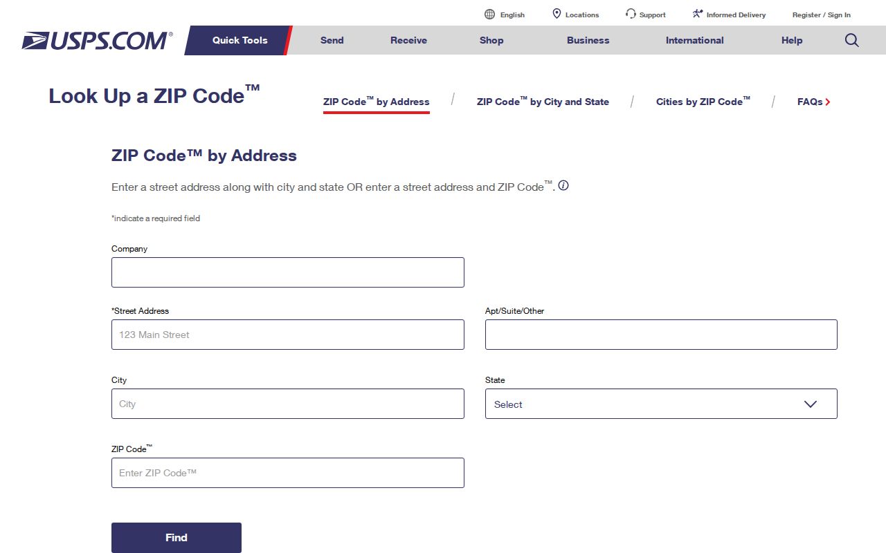
The lookup screen is the correct place to test a complete address. After a postal answer is confirmed, the Westchester parcel map and New Rochelle assessment resources can test a different question: which public parcel record corresponds to that location.
New Rochelle ZIP Boundary Limits
New Rochelle city limits, ZIP boundaries, tax parcels, and school districts are different geographic systems. The regional profile’s cross-region marks are the clearest local caution: 10538, 10583, and 10803 may serve other regions, while 10802 is a PO Box ZIP. A New Rochelle postal city therefore does not, by itself, establish that a parcel belongs to the City of New Rochelle. Parcel fields such as MUNNAME and CITYTOWN_NAME are useful municipal checks after the postal step.
No official citywide street-renumbering, renaming, or E911 readdressing chronology was located in the research. When an older address does not align with a current postal form, use the SBL, tax map, deed legal description, Sanborn maps, directories, and New Rochelle Public Library house-history help. Do not invent a renumbering explanation where the records have not documented one.
New Rochelle Postal Terms
New Rochelle postal and parcel records use terms that can look interchangeable but are not. Keeping the terms distinct helps prevent an address inquiry from drifting into a broad, unsupported claim about a block or household.
- ZIP and ZIP+4
- The five-digit ZIP describes a postal area. ZIP+4 adds delivery-specific digits; use the USPS result when an exact delivery code matters.
- PO Box ZIP
- A postal designation for boxes rather than normal street delivery. The regional profile specifically marks 10802 this way.
- Unique ZIP
- A ZIP used for one organization or institution. The research did not identify a New Rochelle unique ZIP, so it should not be assumed.
- Carrier route
- A postal delivery grouping, not a city boundary, parcel line, or public list of people at addresses.
These distinctions keep the New Rochelle ZIP code directory focused on postal geography. Resident identity, protected voter status, and private household information are governed by different records and limits, even when an address has a clear postal code.